Historial de Péronne
1 media
Localisation physique
Cote/Cotes extrêmes
Date
Organisme responsable de l'accès intellectuel
Caractéristiques physiques
Dimensions
Présentation du contenu
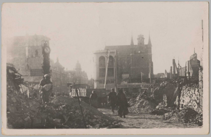
CARTE PHOTO MONTRANT UNE VUE D'UNE PLACE DETRUITE PAR LES BOMBARDEMENTS. ENCORE DEBOUT UNE COLONNE HORLOGE. QUELQUES CIVILS. UN CAMION.
Mots clés lieux
Mots clés matières
Mots clés typologiques
Ce site utilise des cookies techniques nécessaires à son bon fonctionnement. Ils ne contiennent aucune donnée personnelle et sont exemptés de consentements (Article 82 de la loi Informatique et Libertés).
Vous pouvez consulter les conditions générales d’utilisation sur le lien ci-dessous.